Iota became the 13th Hurricane of the 2020 Atlantic Hurricane season.
November 15, 2020, 11:39 AM
• 4 min read
Hurricane Iota has winds of 80 mph and is a Category 1 Hurricane this morning.
Iota is moving West at 6 mph and is about 415 miles east-southeast of the Nicaragua and Honduras Border.
Iota became the 13th Hurricane of the 2020 Atlantic Hurricane season early Sunday morning -- the only other season that has had more than 12 hurricanes was 2005 which had 15.
Iota is expected to continue moving west and northwestward over the next few days until it makes landfall sometime late on Monday or early Tuesday morning in Central America.
Iota is expected to continue moving west and northwestward over the next few days until it makes landfall sometime late on Monday or early Tuesday morning in Central America.
Iota is forecast to make landfall in Central America, likely in Nicaragua, as a Major Hurricane and Iota would be the second major hurricane to form this November. There have been no other Novembers on record with two major hurricanes.
Iota could bring locally 30 inches or more of rain to parts of Honduras, Nicaragua, Guatemala and Southern Belize.
Unfortunately, Iota could bring locally 30 inches or more of rain to parts of Honduras, Nicaragua, Guatemala and Southern Belize.
This is very concerning as part of this region received locally 40 inches of rain from Eta just earlier this month.
This is a catastrophic rainfall forecast and could produce life-threatening flash flooding, mudslides and landslides.
Additionally, a life-threatening storm surge could reach up to 13 feet on the coast line of Nicaragua and Honduras as well.
Meanwhile in the U.S., a powerful storm system and its associated strong cold front will move from the Midwest to the Northeast today.
The storm is likely to bring very strong winds initially with the cold front passing and then behind it later on as cold air rushes in.
The cold front already has brought some severe weather reports in Missouri and Arkansas on Saturday, including a 69 mph wind which was also reported in extreme eastern Oklahoma has well.
The gusty winds downed trees, did some localized damage to homes and structures in parts of southern Missouri and northwest Arkansas.
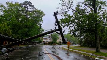
There are numerous wind alerts for a large part of the eastern half of the nation where gusts over 45 mph will be possible, including in several major cities -- from Kansas City to Chicago to Detroit and to Buffalo -- which could bring down trees and power lines.
As the cold front moves eastward it could bring a round of gusty winds and heavy rain to parts of the Northeast, especially later in the afternoon.
As the cold front moves eastward it could bring a round of gusty winds and heavy rain to parts of the Northeast, especially later in the afternoon.
Behind this system, the door will be opened for cold air to move into parts of the Midwest and Northeast making it feel more and more like November.


